LandLab Visualization
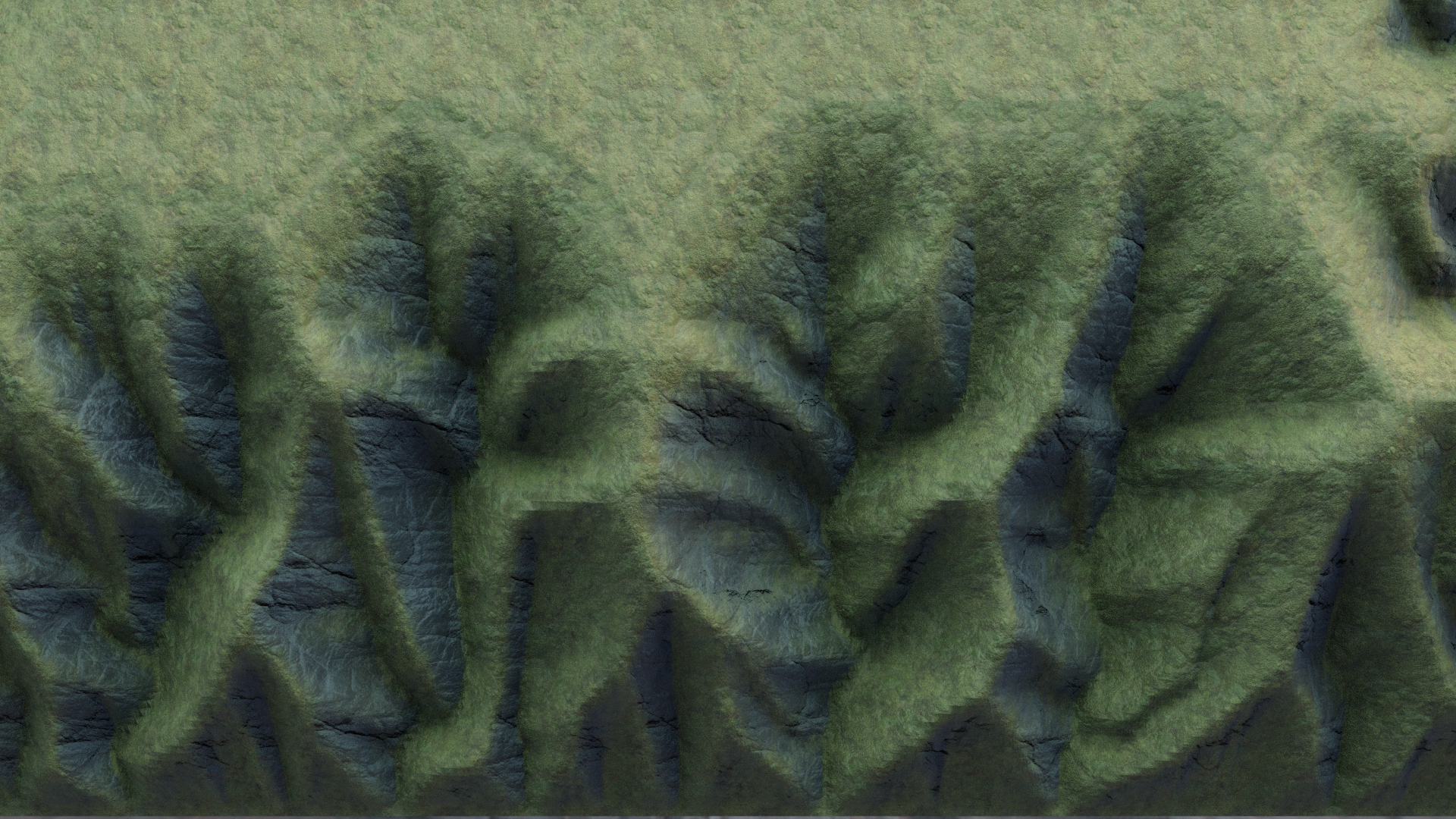
LandLab is an open source python toolkit for simulating earth surface processes. Based on geophysical laws, the software is capable of modeling (among many other things) landform evolution. I had the pleasure to work with the LandLab team on some visualizations that have been used in university courses.


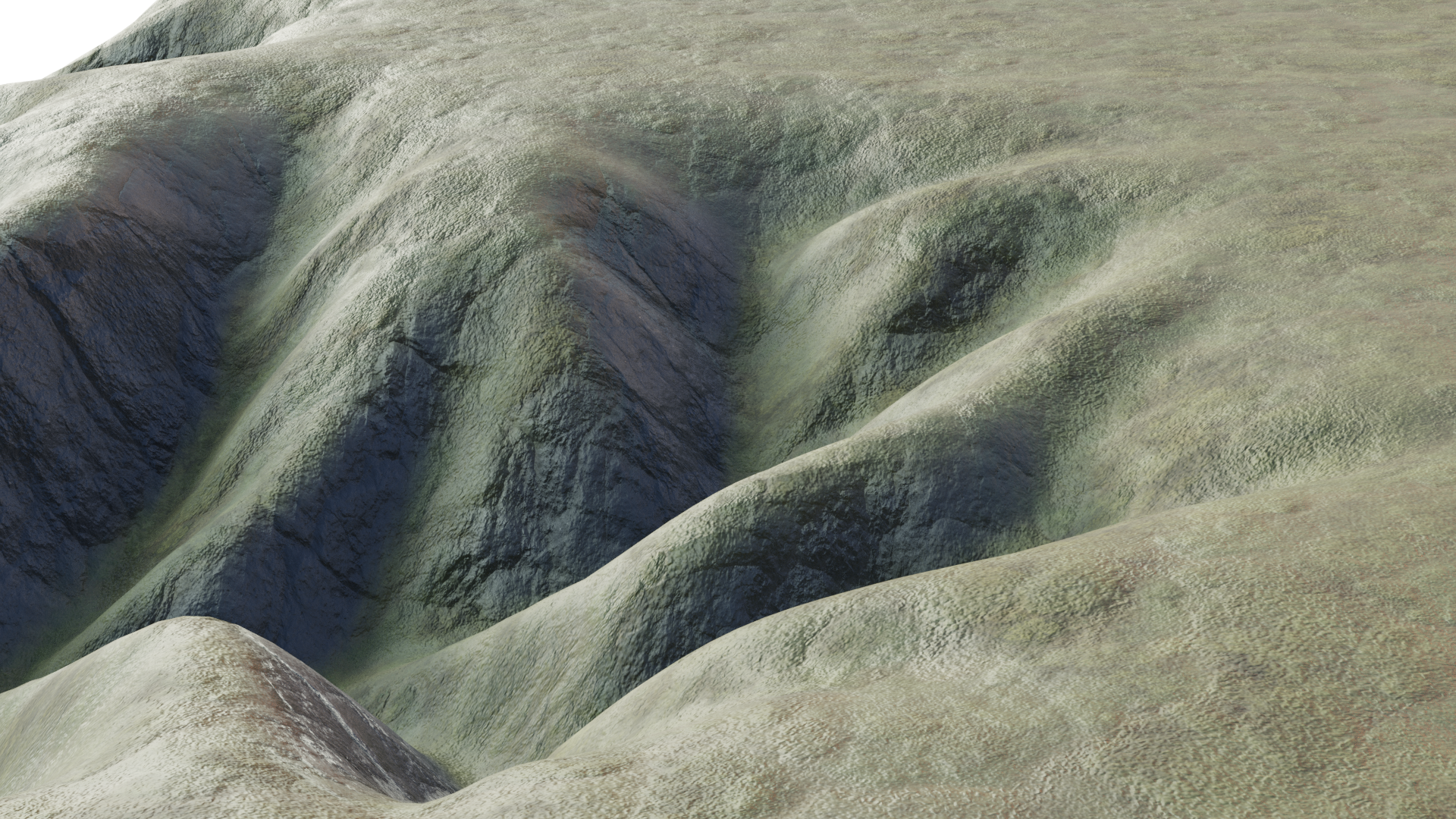
The 3D meshes were generated by the LandLab software. My task was to give the mesh (a collection of data) the look of stone and grass and earth. As part of this I worked closely with the creator of LandLab to integrate the software with Blender for visualization.
The project is ongoing and we are hoping to increase the visualization capabilities. Some of the renders you see here have been featured at the American Geosciences Union (AGU) Conference 2020. Our goals are to facilitate learning, to make earth surface models more accessible, and to visually communicate the wonders of earth science.
We used a dynamic landform evolution model to create a motion logo for LandLab. The software itself was used in the design, making the logo an example of the softwares application.